Feature
Maps
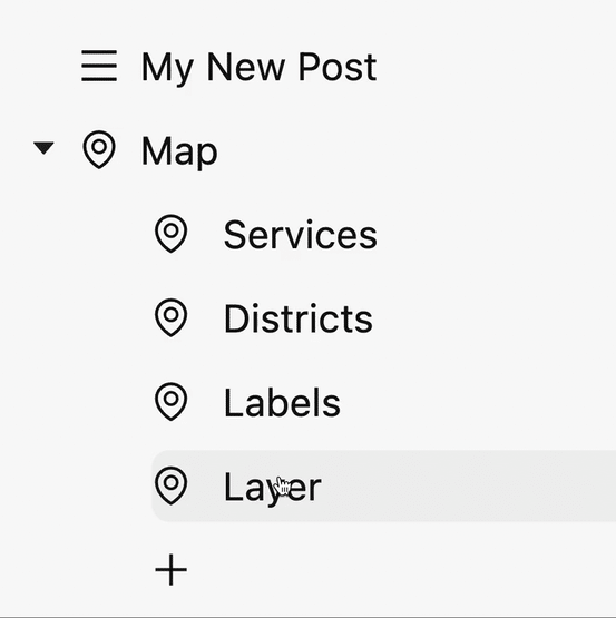
The Map component transforms geographical data into interactive maps, making spatial analysis both visually appealing and user-friendly.

The Map component transforms geographical data into interactive maps, making spatial analysis both visually appealing and user-friendly.
With Akuko, you have the freedom to style your maps to suit your needs. Adjust colors, symbols, and labels based on your data, ensuring your maps are not only informative but also aesthetically aligned with your brand.
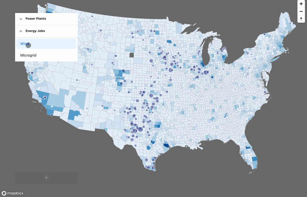
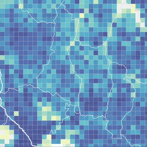
Whether it's demographic data, environmental patterns, or indicator data, in Akuko you can layer various types of information to create rich, multi-dimensional geospatial narratives. Think of it as a Photoshop for maps.
Vector tiles enhance the overall quality and responsiveness of your maps, making them ideal for data-rich, interactive geospatial storytelling and ensuring smooth performance no matter the data size and sharp visuals even at high zoom levels.